
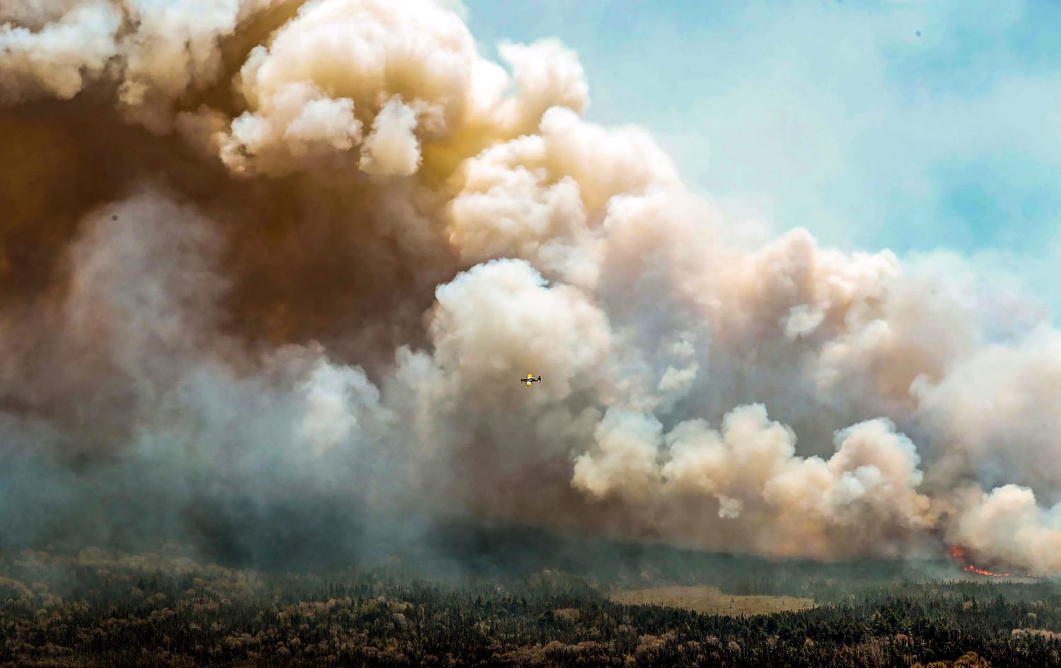
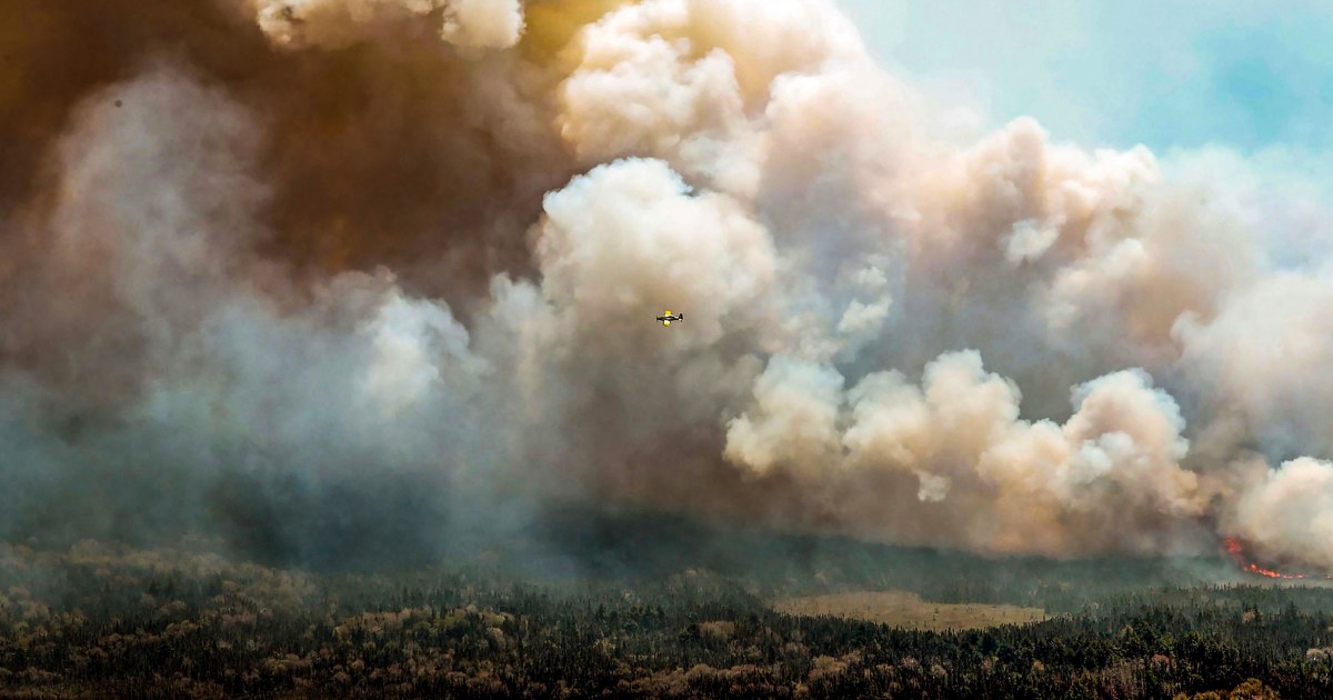
In recent days, smoke from the fires has been drifting over the northeastern United States and settling across the Midwest. Alerts warning of elevated concentrations of air pollution were issued across the regions particularly for “sensitive groups” that include children, older adults, and people with asthma and other pre-existing respiratory conditions.
Air pollution from wildfire smoke has become a significant health risk in the U.S. and is growing worse. Stanford University researchers found that the number of people who experienced at least one day with unhealthy air quality because of smoke rose by 27 times over the last decade.
Small particles in smoke that are less than 2.5 micrometers in diameter — about 4% of the diameter of an average human hair — are of particular concern to air quality researchers.
“These are the particles that are small enough to breathe in and can cause cardiovascular issues,” said Brett Palm, a scientist at the National Center for Atmospheric Research in Boulder, Colorado.
Exposure to this kind of pollution can cause inflammation and weaken the immune system, particularly when the tiny particles penetrate the lungs and enter the bloodstream. Particulate pollution may increase risk of asthma, lung cancer or other chronic lung diseases, particularly in vulnerable groups like older people, pregnant people, infants and children.
Wildfire smoke exposure might increase the risk of respiratory disease. Increases of Covid-19 and influenza have also been linked to wildfire smoke.
Palm said the situation unfolding in the Midwest highlights the longer-term risks of wildfires, particularly as climate change creates warmer and drier conditions that make these blazes more likely to occur — and more severe when they do.
“Over the last decade or so, these fires have been increasing and are having increasing impacts not just where the fires are, but far downwind from there,” he said.
The U.S. Environmental Protection Agency — along with partner agencies such as the National Oceanic and Atmospheric Administration and NASA — maintains an interactive map of air quality data called AirNow that allows users to see the locations of active fires and assess local conditions and risks.
Source: | This article originally belongs to Nbcnews.com